


City developing plan to protect shoreline from rising sea levels
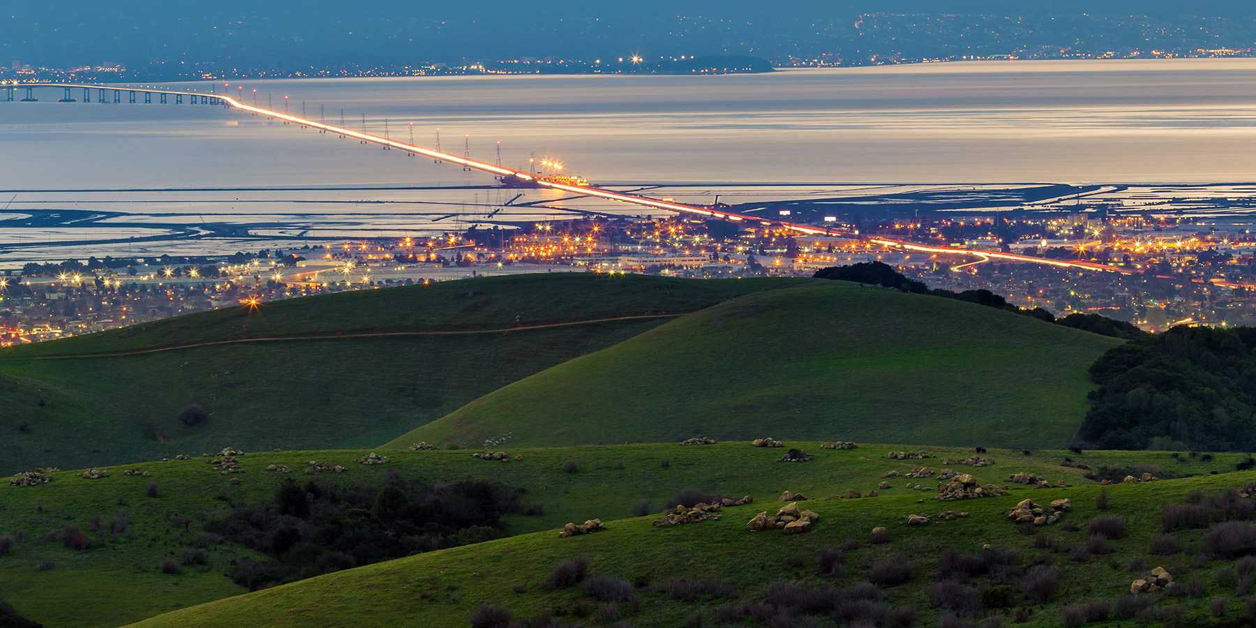
Climate change is causing the seas to rise, a reality that could cause severe flooding in Hayward if left unaddressed. According to the California Coastal Commission, sea levels in the San Francisco area have already risen eight inches over the past century, making Hayward and other cities bordering the Bay particularly vulnerable to this threat.
To prepare, the City of Hayward, in partnership with East Bay Regional Park District (EBRPD) and Hayward Area Recreation and Park District (HARD), is currently developing a Shoreline Adaptation Master Plan. This Plan will outline the policies and projects necessary to protect the Hayward Shoreline from sea level rise.
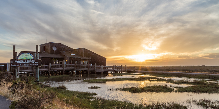
The Shoreline Adaption Master Plan is expected to be completed by early 2021, and several designs are currently being considered for inclusion in the Plan. These designs will structurally alter the Hayward Shoreline so that it is better prepared for rising sea levels, and they include a combination of nature-based designs like gravel beaches and tidal marsh restoration, as well as some engineered strategies, like levee improvements and tide gates. The nature-based designs are intended to enhance the ecological features of the shoreline, while the engineered solutions are designed to reduce risk to critical shoreline infrastructure, like the City’s wastewater treatment plant, the Hayward-San Mateo Bridge, the marshlands, the Bay Trail, and the Hayward Shoreline Interpretive Center.
Members of the community are encouraged to provide feedback on the Shoreline Adaptation Master Plan and the designs being considered by filling out this comment form. Public comments must be submitted by June 12 to be included in the Plan. More information and informative videos regarding the Plan can be found at www.haywardshorelinemasterplan.com.