


Public input sought on Hayward response to rising sea levels
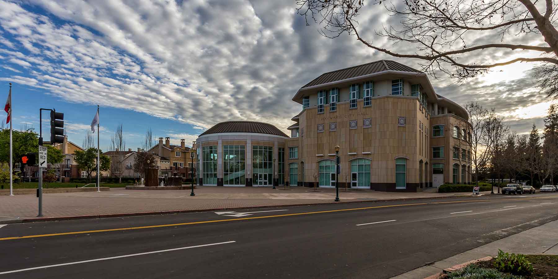
The City of Hayward and partner agencies East Bay Regional Park District and Hayward Area Recreation and Park District are seeking input on how best to respond to rising sea levels and the threat it poses to shoreline habitat and infrastructure.
If you would like to participate, please take an online survey being conducted by the Hayward Regional Shoreline Planning Agency, a joint powers agency of the City and the East Bay and Hayward Area park districts. The survey is available until the end of March.
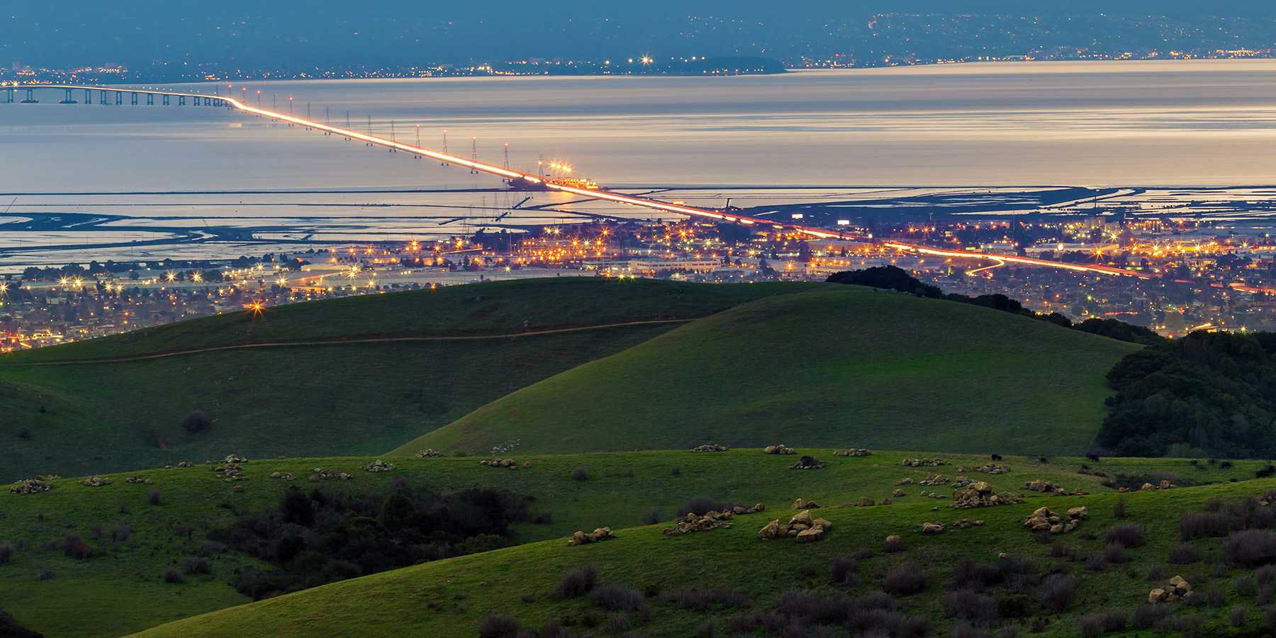
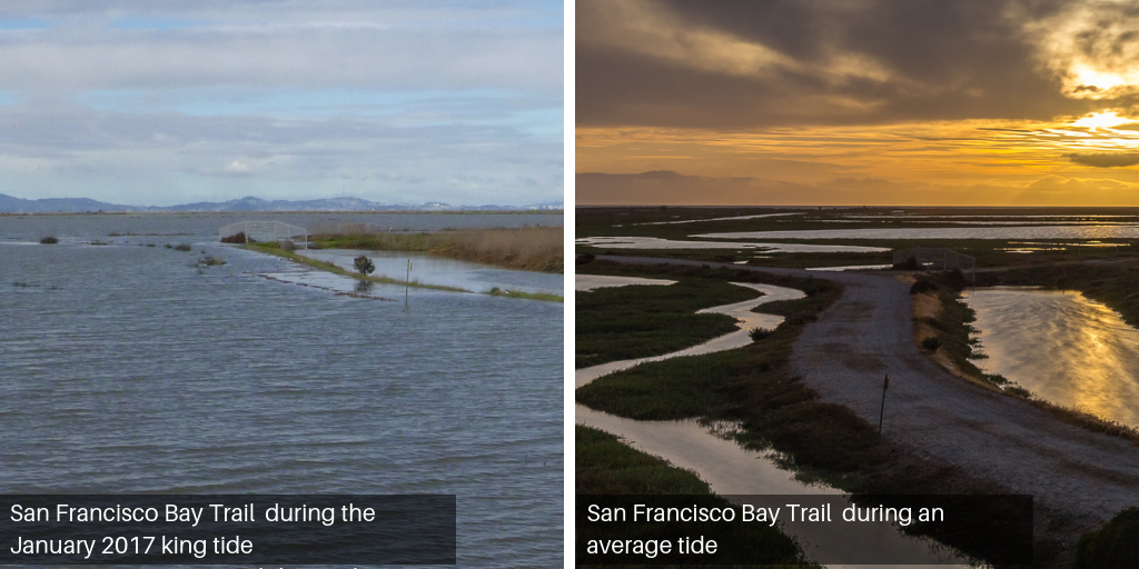
Under current projections, areas of Hayward shoreline that are vulnerable to flooding and inundation due to rising sea levels are vast, and home to wastewater treatment and energy plants, the eastern approach to the San Mateo-Hayward Bridge, business parks and residential neighborhoods. Also threatened are natural and recreational features, including marshlands, the Hayward Shoreline Interpretive Center and San Francisco Bay Trail.
What to do about sea level rise is the subject of a new Hayward Regional Shoreline Master Plan being developed by the Hayward Area Shoreline Planning Agency, or HASPA. Ultimately, decisions on which strategies will be pursued and how to pay for them will require public engagement and participation.
To begin, HASPA is conducting the online survey, available until March 31. It will be followed by several community workshops and other events, which are still to be scheduled.
The survey also can be reached through the sea level rise page on the City of Hayward website. Also available on the page is additional information about sea level rise and on development of the Shoreline Master Plan, as well as links to a preliminary study on potential effects of rising sea levels and interactive maps of Hayward shoreline areas subject to flooding and inundation.