
California State Route 238 Corridor Lands - Parcel Group 5 Master Development Plan
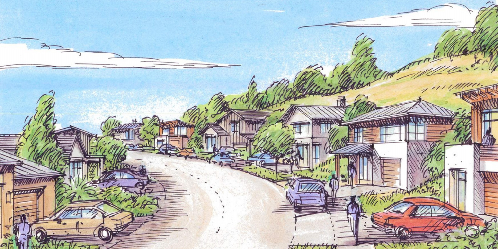
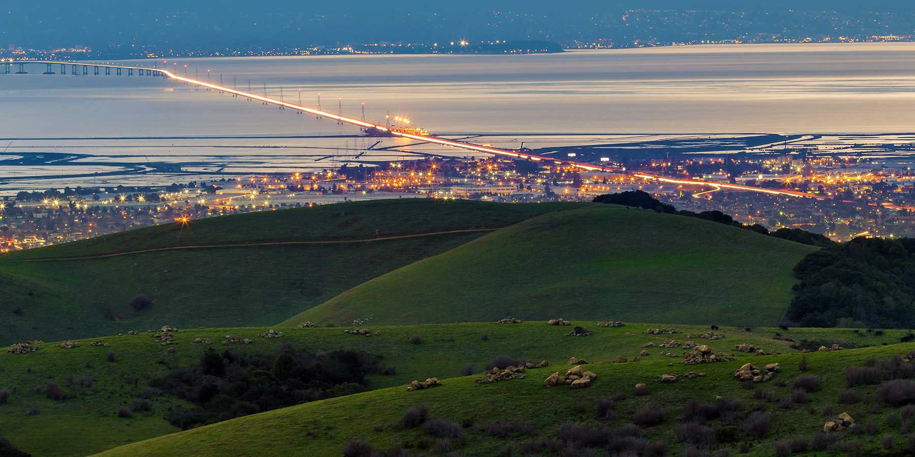
The development of the former California State Route 238 Corridor Lands (Route 238 Corridor Lands) represents a unique opportunity and moment in the history and evolution of the City of Hayward.
Once designated for highway construction by the California Department of Transportation (Caltrans), approximately 200 combined acres are now owned by the City of Hayward pursuant to an agreement with Caltrans. These lands are contained in ten parcel groups running through largely undeveloped hillside above Mission and Foothill Boulevards from south to north Hayward.
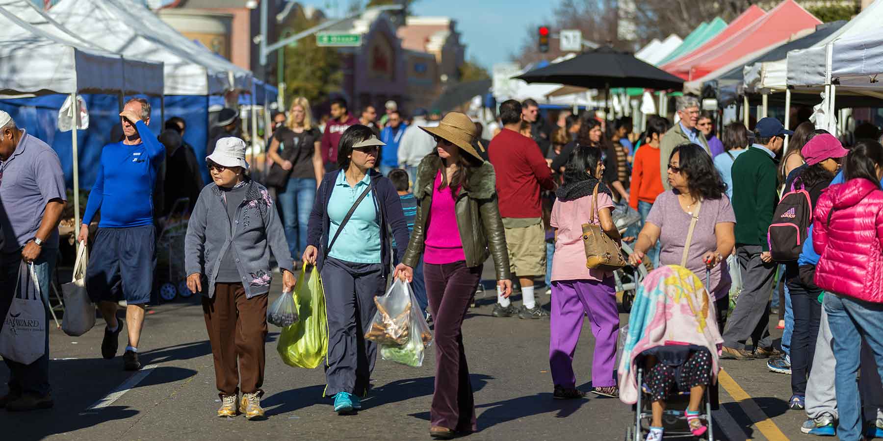
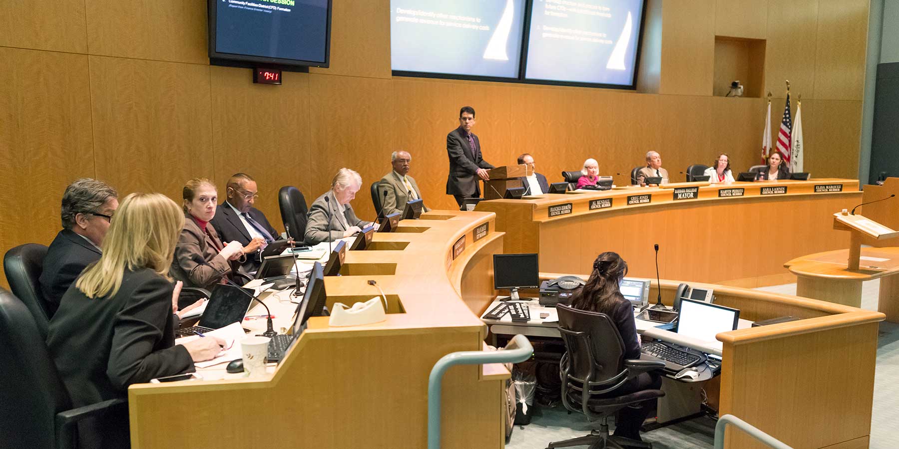
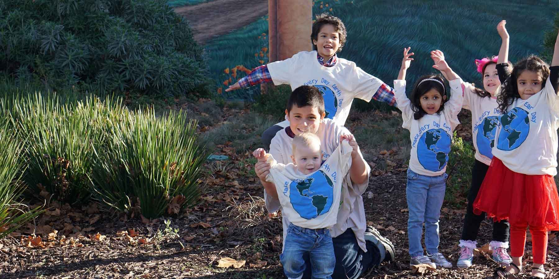
Through a community driven site planning process, the City has created a vision for these parcel groups, ensuring a publicly beneficial, economically sustainable reuse of this property, prioritizing creation of new housing accessible to all income levels and other community needs and aspirations.
Shaped by input from residents and other stakeholders, the Parcel Group 5: Bunker Hill Master Development Plan (Plan) articulates the amount and type of development that can take place within the boundaries of Parcel Group 5, while identifying the infrastructure improvements, and public benefits the future development shall provide. This plan will guide future efforts as the City engages private partners in the development of Parcel Group 5.